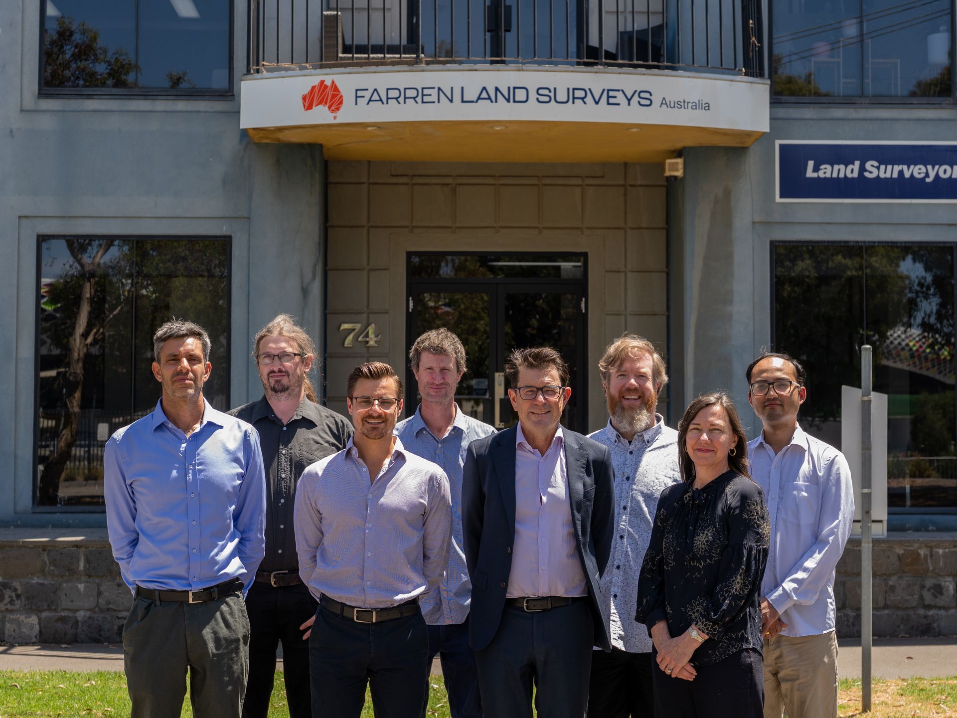
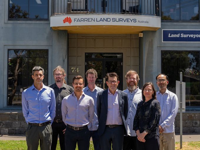
Farren Land Surveys Australia
Creating New Boundaries
Melbourne, Regional Victoria & New South Wales
Slide title
Write your caption hereButton
Slide title
Write your caption hereButton
Slide title
Write your caption hereButton
Slide title
Write your caption hereButton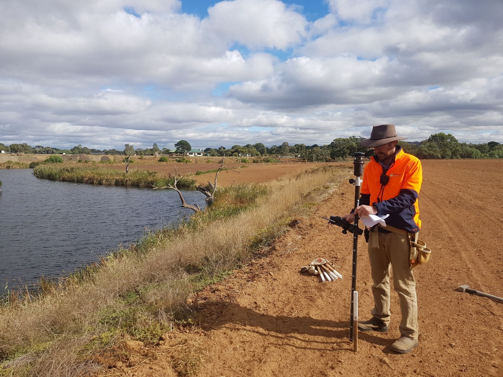
Slide title
Write your caption hereButton
Welcome to Farren Land Surveys
Trusted Surveying Solutions Across Victoria and Beyond
Since 2000
Farren Land Surveys has been working alongside builders, developers, and property owners for over 25 years, delivering accurate, reliable surveying services that keep projects moving. We’re a team of highly skilled, licensed surveyors who know the industry inside out – and we keep things straightforward and practical from start to finish.
We handle everything from title re‑establishment and feature and level surveys to subdivisions, construction set‑outs, hydrographic surveys, and 3D laser scanning. Using the latest surveying equipment, we give you the precise data you need to build with confidence and avoid costly mistakes.
Our crew works across Victoria from our multiple locations, and will travel anywhere in Australia for larger projects to help you get the job done. We pride ourselves on being approachable, down‑to‑earth, and easy to deal with, while still delivering the high standards the construction industry demands.
Slide title
Write your caption hereButton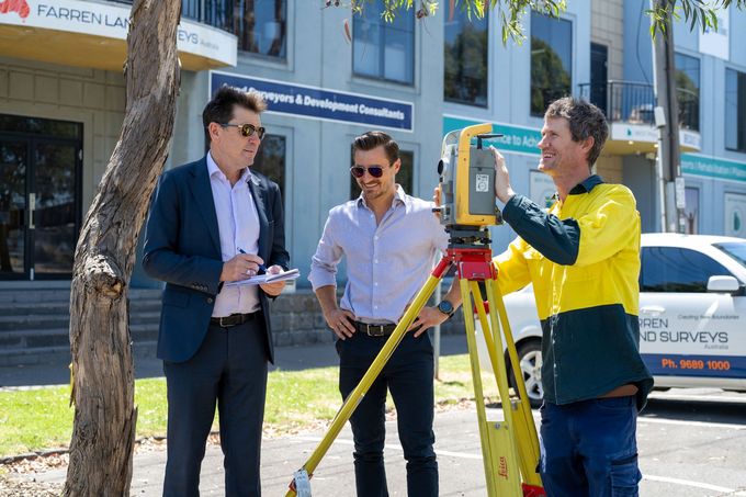
Slide title
Write your caption hereButton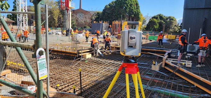
Slide title
Write your caption hereButton
Slide title
Write your caption hereButton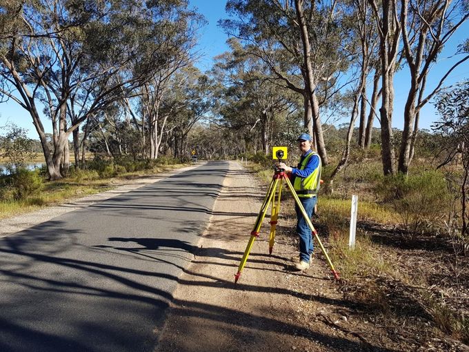
Slide title
Write your caption hereButton
Slide title
Write your caption hereButton
Land & Building Developments
A licensed surveyor is the only person legally entitled to conduct a title reestablishment survey and mark
3D Laser Scan Surveys
3D laser scanning is an accurate, safe and efficient method to capture that survey information.
Engineering
Surveys
Our land development planning services can guide project you from initial investigations to completion.
Aerial Surveys
High quality imaging for residential and commercial, asset inspections, towers any tall structures.
Hydrographic Surveys
Our specialised equipment allows us to collect depth data in all bodies of water including; rivers, dams.
Master Plans for Schools
We specialise in providing professional detail Master Plans for both Private and Public Schools.
Why Choose Us?
Experienced & Trusted for 25 Years
With over 25 years in business, our team of licensed and skilled surveyors combines unmatched technical expertise with a friendly, down‑to‑earth approach. We bring precision, reliability, and genuine care to every project, ensuring accuracy
in every detail.
Cutting‑Edge Technology
We use the latest surveying equipment and software to deliver precise, reliable, and efficient results. This means high‑quality outcomes and on‑time delivery, every time.
Customer Satisfaction
We take pride in our commitment to customer satisfaction. Our team works closely with clients, listening to their needs and delivering solutions that exceed expectations.
Great Value, Competitive Pricing
We provide top‑quality surveying services at competitive rates, delivering excellent value without compromising on service or results.