Hydrographic Survey Services
Services
Comprehensive Hydrographic Surveys Services
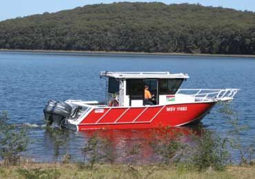
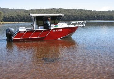
At Farren Group, we take pride in offering an extensive range of Hydrographic Survey services tailored to your unique needs. With a strong foundation built on more than 50 years of combined industry experience, our depth of knowledge and commitment to delivering quality solutions set us apart in the field.
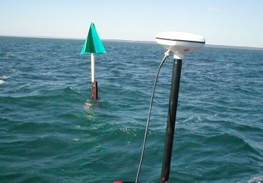
Our services are comprehensive, designed to capture diverse aspects of your hydrographic needs. We use the latest technology and uphold the highest industry standards to ensure our results are accurate, reliable, and actionable.
From monitoring surveys to mapping challenging locations like under wharves, we bring expertise and state-of-the-art equipment to every project. We provide invaluable insights into sand or mud movements, essential for tracking environmental changes like coastal processes, floods, and river bank erosion. Our advanced survey methods gather 3D data over time, allowing you to understand the variations and make informed decisions visually.
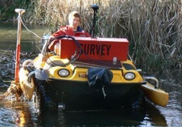
Our under-wharf mapping technique is another highlight of our services. With the help of a Transducer raft, we capture detailed depth data from under wharves, providing a clear picture of the underwater topography and helping you plan better.
In all our services, safety and precision are our top priorities. We work tirelessly to ensure that our surveys are as accurate as possible while maintaining the highest safety standards. With Farren Group, you can rest assured that your Hydrographic Survey needs are in safe and experienced hands. We're eager to help you navigate your project's unique challenges and provide you with comprehensive, high-quality data.
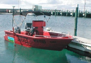
Bathymetric Surveys
Our specialised equipment enables us to gather depth data from various water bodies, from rivers and dams to marinas .
Asset Mapping
Efficient data capture on both land and water for any feature of value to our clients, ensuring safety and efficiency.
Monitoring Services
Regular data collection to track changes in sand or mud movement due to coastal processes, floods and erosion.
Under-Wharf Mapping
Our proprietary device enables accurate mapping underneath wharves, for detailed depth maps below marine structures.
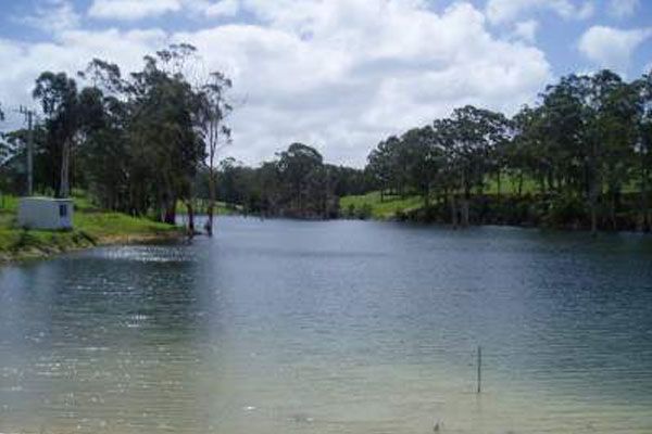
Dam Capacity Surveys
Measurements of dam water capacity, catchment area calculations, dam wall height and safety surveillance monitoring.
Seismic Surveys
Sub-bottom profiling, a marine seismic reflection technique that provides measurements and visualisation of the seafloor.
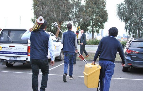
Consulting Services
We provide general consulting services, project management, and advice on safety and environmental protection standards.
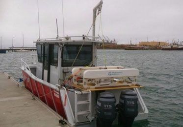
Multi-Beam Surveys
Multi Beam Special Order / Class A survey services selivered through cutting-edge technology and by a certified H1 Hydrographic Surveyor.