Feature & Level Area Surveys
Feature and Level Area Surveys Service
If you’re planning a build, extension, or development, one of the first steps should be a Feature and Level Survey. This survey provides a detailed picture of your site’s existing conditions, helping designers, engineers, and builders understand the land before work begins. Starting with accurate information reduces risk, supports compliance, and helps projects run more smoothly from the outset.
A Feature and Level Survey (sometimes called a topographical survey) records the visible features and ground levels across your property. This typically includes contours and elevations, buildings and fences, driveways, drainage, trees, and visible services. The result is a clear site plan that forms the foundation for design, planning, and construction decisions.
These surveys are commonly required for planning permits, new homes, extensions, subdivisions, and drainage design. Architects rely on them to design buildings that work with the land, while engineers use the level data to plan foundations and stormwater systems. By identifying potential constraints early, a Feature and Level Survey can help avoid costly redesigns, construction delays, or compliance issues later on.
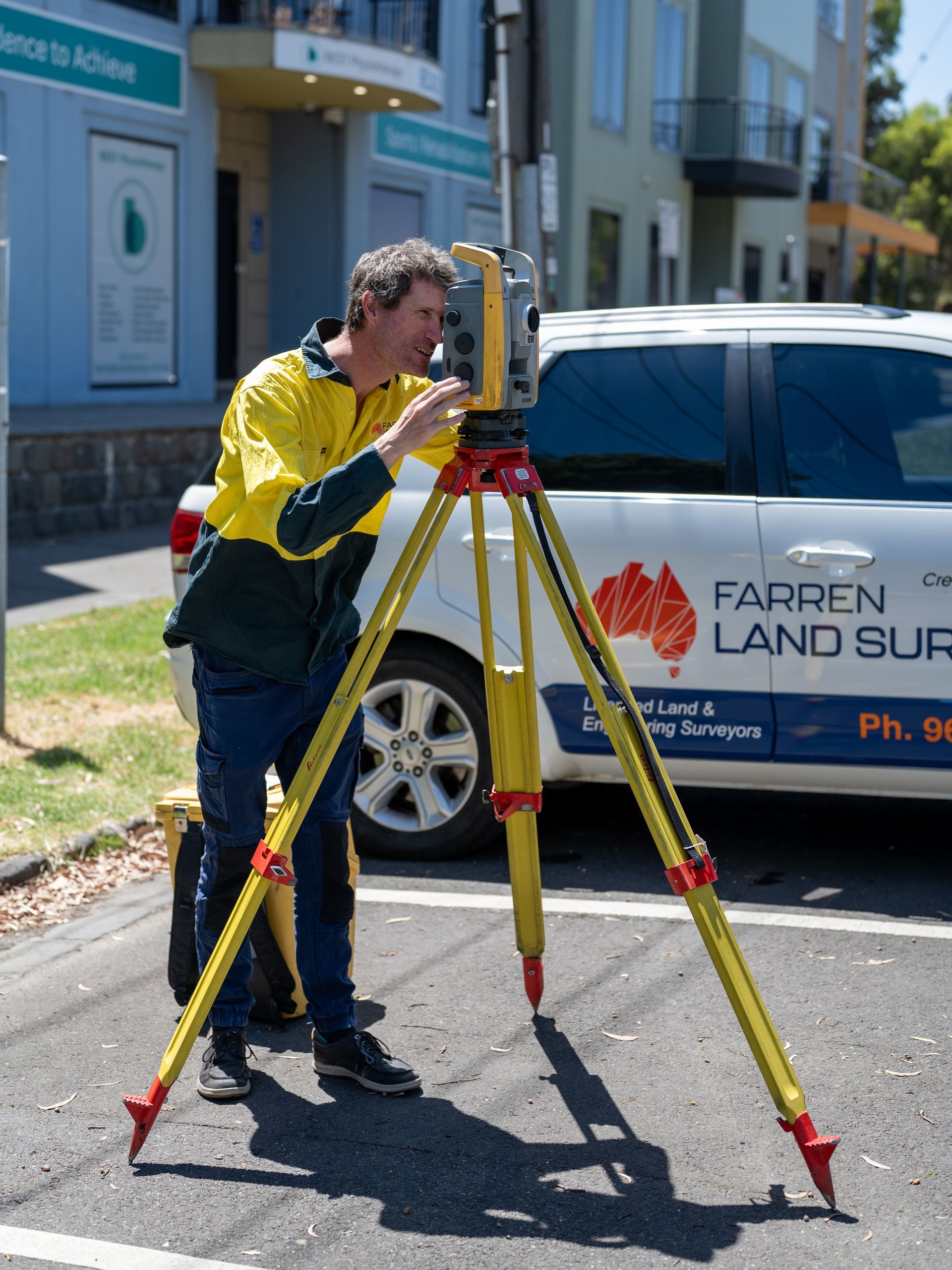
At Farren Land Surveys, we attend site using modern survey equipment to capture accurate measurements, then prepare a clear, easy-to-read plan tailored to your project. Our goal is to provide reliable information that helps your project team move forward with confidence.