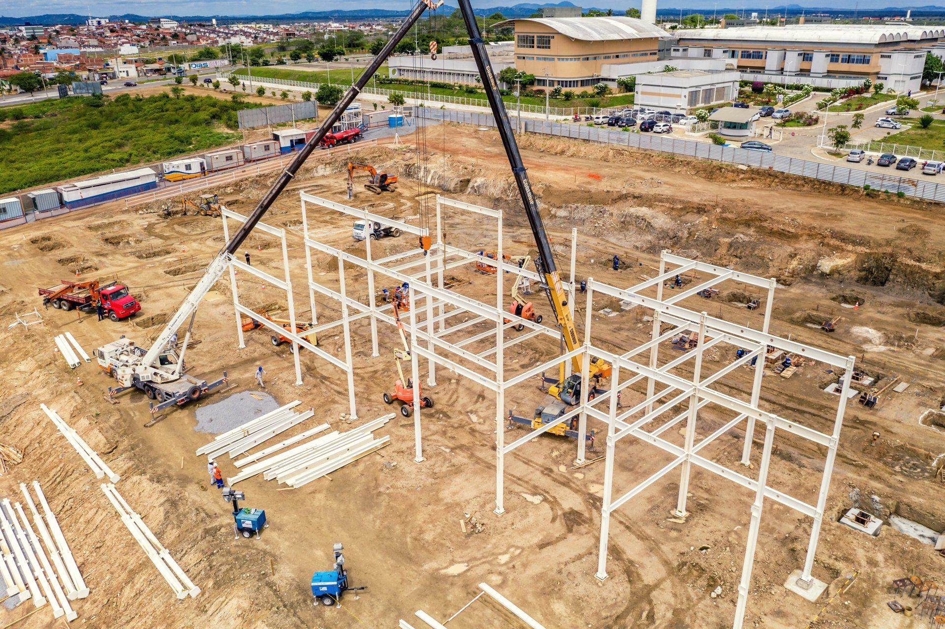
Aerial Surveys
Trusted Professional Aerial Surveying Services in Victoria
We specialise in leveraging the latest drone technology to deliver precise, high-quality surveys that comprehensively understand your land's features and contours.
As a licensed Remote Pilot operators, we have the credentials and experience to use unmanned aerial vehicles (UAVs), commonly known as drones, for commercial use. This allows us to perform surveys in a variety of environments, from vast open fields to densely populated urban areas.
At Farren Land Surveyors, we pride ourselves on being at the forefront of surveying technology. We utilise state-of-the-art software to create 3D models of surfaces, providing a detailed visualisation of your land's terrain. This technology enables us to identify features and contours that are difficult to detect with traditional surveying methods, ensuring a more accurate and comprehensive analysis.
Regardless of your property's size, we can carry out aerial surveys for areas ranging from a single acre to hundreds of acres. Our approach allows us to offer these comprehensive surveys at an affordable price, providing value without compromising quality.
In addition to our 3D modelling services, we provide high-resolution aerial images of your site. These images give you a unique perspective of your property, offering a bird's-eye view that can be invaluable for planning, development, and assessment purposes.
Trust Farren Land Surveyors for your aerial surveying needs in Victoria. Our team of professionals is dedicated to delivering accurate, efficient, and high-quality results that meet your specific requirements. With our advanced technology and expertise, we're here to assist you in understanding and utilising your land to its fullest potential.